
Skip to main navigation Skip to main content

This site uses cookies

We use cookies and other tracking technologies to improve your browsing experience on our website.
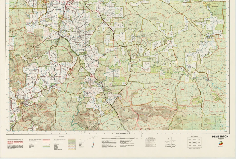
a map of a city

Maps

Australian Wine Geographic Indications Dashboard

This application presents all Australian Geographical Indications (GI) protected in the Register.

Digital boundary files

The Geographical Indications of Australia boundaries (Wine Zones, Regions and Subregions) are available for use in GIS/mapping applications from the Wine Australia Open Data Hub.

This content is restricted to wine exporters and levy payers

Some content provided on this website is restricted to Australian wine and grape levy-payers and/or wine exporters with a current export licence.

Some reports are also available for one-off purchase to non-members. Find out more

New to the website? See how to create an account and access member content.