


- Home
- Grapegrowing & Winemaking
- Resources for growers & makers
- Australia’s Wine Future: A Climate Atlas
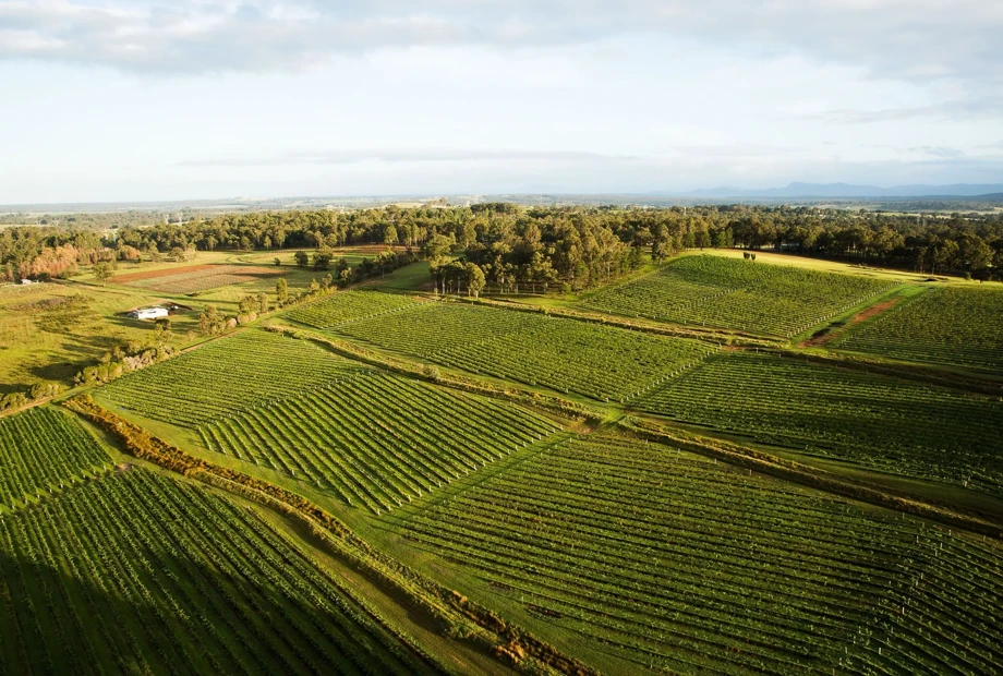
Australia’s Wine Future: A Climate Atlas
A three-year project with the University of Tasmania brought together an extensive, multi-disciplinary research team to consider the impact of seasonal climate variability and longer-term climate trends on the wine sector in Australia.
Climate projections for Australia’s wine regions
Australia’s Wine Future research provides detailed climate projections for Australia’s wine regions, showing how conditions may change in the near, medium and long term, through to 2100.
The projections are available through Australia’s Wine Future: A Climate Atlas, a free online resource providing climate information for all Australian Geographical Indications (GIs).
Understand your region’s future climate
The Climate Atlas helps grapegrowers, winemakers and regional wine communities explore the question: What will my region’s climate look like in the future?
This information can support management decisions in response to changes over coming decades and longer-term strategic planning within and across wine regions.
Tailored climate indices have been calculated for every Australian Geographical Indication, covering:
- Temperature: growing season temperature (GST) and growing degree days (GDD)
- Rainfall and evaporative demand: annual, monthly and seasonal rainfall; growing season rainfall; rainy days during harvest; annual, monthly and seasonal aridity; and dry spells before harvest
- Heat extremes: extreme heat factor (EHF) during a heatwave; heatwave duration and intensity; days exceeding temperature thresholds; and days with high human heat stress
- Cold extremes: days at risk of frost during the growing season; daily minimum temperature; annual chilling degree days; and days when temperatures fall below specified thresholds.
Access the Wine Climate Atlas
You can download the atlas in its entirety or by state or by region. We highly recommend reading the 'Introduction and how to interpret' first as this will allow you to better interpret the charts.
- Introduction and how to interpret (2.4 MB)
- National Summary (10.3 MB)
- Australia's Wine Future: A Climate Atlas (full atlas) - (438 MB)
- Introduction and how to interpret (2.4 MB)
- New South Wales – all regions (100.9 MB)
- Canberra District (8.1 MB)
- Cowra (7.4 MB)
- Gundagai (8 MB)
- Hastings River (6.7 MB)
- Hilltops (7.1 MB)
- Hunter (7.7 MB)
- Mudgee (7.5 MB)
- Murray Darling (7 MB)
- New England (7.8 MB)
- Orange (7.8 MB)
- Perricoota (6.6 MB)
- Riverina (8 MB)
- Shoalhaven Coast (7.1 MB)
- Southern Highlands (7.4 MB)
- Swan Hill (6.4 MB)
- Tumbarumba (7.2 MB)
- Introduction and how to interpret (2.4 MB)
- Queensland – all regions (23.5 MB)
- Granite Belt (6.7 MB)
- South Burnett (7.5 MB)
- Introduction and how to interpret (2.4 MB)
- South Australia – all regions (110.9 MB)
- Adelaide Hills (7.1 MB)
- Adelaide Plains (6.5 MB)
- Barossa Valley (6.7 MB)
- Clare Valley (6.6 MB)
- Coonawarra (6.4 MB)
- Currency Creek (6.6 MB)
- Eden Valley (6.7 MB)
- Kangaroo Island (6.8 MB)
- Langhorne Creek (6 MB)
- McLaren Vale (6.6 MB)
- Mount Benson (6.1 MB)
- Mount Gambier (6.8 MB)
- Padthaway (6.1 MB)
- Riverland (6.4 MB)
- Robe (6.4 MB)
- Southern Fleurieu (7 MB)
- Southern Flinders Ranges (7.2 MB)
- Wrattonbully (6.5 MB)
- Introduction and how to interpret (2.4 MB)
- Tasmania – all (59.9 MB)
- Central north* (7.5 MB)
- East coast* (7.4 MB)
- Furneaux Islands* (6.5 MB)
- King Island* (6.3 MB)
- North east* (7.4 MB)
- North west coast* (7.1 MB)
- South east* (7.7 MB)
- Upper Derwent Valley* (7.2 MB)
* Please note that these are not registered GIs but have been identified for the Atlas in the interests of providing greater detail on different climates within the larger GI of Tasmania.
- Introduction and how to interpret (2.4 MB)
- Victoria – all regions (137.2 MB)
- Alpine Valleys (7.7 MB)
- Beechworth (7 MB)
- Bendigo (7.7 MB)
- Geelong (7.2 MB)
- Glenrowan (7 MB)
- Goulburn Valley (8 MB)
- Grampians (7.7 MB)
- Heathcote (7.5 MB)
- Henty (7.6 MB)
- King Valley (7.8 MB)
- Macedon Ranges (7.6 MB)
- Mornington Peninsula (6.7 MB)
- Murray Darling (7 MB)
- Pyrenees (7.2 MB)
- Rutherglen (7.3 MB)
- Strathbogie Ranges (7 MB)
- Sunbury (7.1 MB)
- Swan Hill (6.4 MB)
- Upper Goulburn (7.8 MB)
- Yarra Valley (8 MB)
- Introduction and how to interpret (2.4 MB)
- Western Australia – all regions (63.3 MB)
- Blackwood Valley (7.1 MB)
- Geographe (7 MB)
- Great Southern (7.7 MB)
- Manjimup (6.5 MB)
- Margaret River (6.4 MB)
- Peel (7 MB)
- Pemberton (6.4 MB)
- Perth Hills (6.5 MB)
- Swan District (6.7 MB)
The interpretation details for the regional charts and infographics can be found from page 12 (XII).